Lemosho Route
Enjoy fewer crowds, an easier climb and amazing panoramic vistas!
Note: Our 2026 Itinerary is typically an 8 or 9 day climb
HOW CHALLENGING IS THE LEMOSHO ROUTE?
The Lemosho Route is widely regarded as one of the easier trails on Kilimanjaro due to its longer itinerary, which allows for superior acclimatization.
By the third day, it merges with the Machame Route.
Many climbers feel apprehensive about tackling the Great Barranco Wall, but it’s simply a short scramble, and your guide will support you throughout the ascent.
The 8-day Lemosho climb boasts one of the highest success rates. Compared to the 7-day option, the additional day ensures a shorter hike before summit night. This lets climbers reach base camp by lunchtime, eat a proper meal, and get valuable rest before beginning the challenging midnight summit attempt.
Seasoned climbers sometimes prefer the more demanding 7-day version of the Lemosho Route.
No technical climbing skills are required on this trek. Every year, thousands of adventurers—along with porters carrying substantial loads—safely complete this route.
The total journey along the Lemosho Route covers roughly 70 kilometers, from start to finish.


Example Lemosho Itinerary
DAY 1 – LONDOROSSI GATE TO MTI MKUBWA CAMP
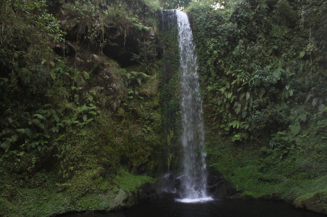
Following breakfast, you'll head to Londorossi Gate to meet your porters and complete registration at the Ranger’s Office. The journey begins through lush rainforest on a scenic path leading to Mti Mkubwa Camp (2,895m), which translates to "big tree" in Swahili. We'll spend the night here.
Trekking distance: 6 kilometers
Trek time: 3 to 4 hours
Environment: Montane Forest
Elevation: From 2,360 meters to 2,895 meters
DAY 2 – MTI MKUBWA CAMP TO SHIRA ONE CAMP
The trail soon exits the forest and enters the moorland region. It climbs steadily with expansive views, eventually reaching the edge of the Shira Plateau. As vegetation diminishes, Shira One Camp (3,600m) appears ahead—our campsite for the night. Afternoon mists may enhance the wilderness atmosphere.
Trekking distance: 9 kilometers
Trek time: 6 to 7 hours
Environment: Moorland
Elevation: From 2,895 meters to 3,600 meters
DAY 3 – SHIRA ONE CAMP TO SHIRA TWO CAMP
This is a relatively easy trek day, ideal for acclimatization and exploring the volcanic terrain of the Shira Plateau. Once Kilimanjaro's third peak, Shira has eroded into a high plateau. As the greenery fades, Shira Two Camp (3,900m) comes into view, offering stunning sights of Mt. Meru and Kibo’s glaciers.
Trekking distance: 8 kilometers
Trek time: Around 5 hours
Environment: Moorland
Elevation: From 3,600 meters to 3,900 meters
DAY 4 – SHIRA TWO TO BARRANCO VALLEY CAMP, VIA LAVA TOWER
Departing from the scenic Shira Plateau, the route heads east toward Kibo and climbs gradually to the day’s highest point, Lava Tower. After a lunch break here, the trail descends gently to Barranco Valley Camp (3,950m). The principle of “climb high, sleep low” is key for acclimatization at this stage.
Highest point: 4,600 meters (Lava Tower)
Trekking distance: 12 kilometers
Trek time: 6 to 7 hours
Environment: Semi-desert
Elevation: From 3,900 meters to 3,950 meters
DAY 5 – BARRANCO CAMP TO KARANGA VALLEY CAMP
This shorter trekking day begins with a steep ascent up the Barranco Wall, involving occasional hand-supported scrambling. The landscape turns to scree, with sparse, resilient vegetation. After the climb, the path descends again, ending at Karanga Valley Camp (3,930m), where we’ll spend the night.
Highest point: 4,200 meters (top of Barranco Wall)
Trekking distance: 7 kilometers
Trek time: About 4 hours
Environment: Alpine desert
Elevation: From 3,950 meters to 3,930 meters
DAY 6 – KARANGA VALLEY CAMP TO BARAFU HUT
Another short hike, this day involves a steady climb from Karanga Valley to Barafu Hut. This marks the conclusion of the Southern Circuit and serves as the base for your final summit push in the early morning hours.
Trekking distance: 6 kilometers
Trek time: Around 3 hours
Environment: Alpine desert
Elevation: From 3,930 meters to 4,600 meters
DAY 7 – BARAFU HUT TO SUMMIT UHURU PEAK, DESCENT TO MWEKA CAMP
This is the most demanding day, both physically and mentally. The summit attempt begins around 1:00 a.m. with a 5–6 hour slow ascent across the volcanic scree leading to Stella Point (5,752m), ideally reached at sunrise. Another hour brings you past impressive glaciers to the highest point, Uhuru Peak (5,895m). After celebrating, you’ll descend back to Barafu, rest briefly, then continue downward to Mweka Camp (3,100m), the final overnight site before your return to Moshi.
Highest point: 5,895 meters (Uhuru Peak)
Trekking distance: 20 kilometers (7 km ascent / 13 km descent)
Trek time: 12 to 15 hours (6 to 8 hours ascent / 6 to 7 hours descent)
Environment: Alpine desert / Volcanic scree / Ice-capped summit
Elevation: From 4,600 meters to 3,100 meters
DAY 8 – DESCENT FROM MWEKA CAMP TO MWEKA GATE
After a restful night, the descent continues through the lush lower rainforest slopes. The trail winds its way to Mweka Gate (1,800m), where a short drive past banana groves and coffee plantations brings you back to Moshi.
Trekking distance: 8 kilometers
Trek time: 3 to 4 hours
Environment: Montane forest
Elevation: From 3,100 meters to 1,800 meters
Note: The itineraries above are examples and can change slightly depending on weather, hiking speed and ability. We work to ensure safety at all times, and where inclement weather might make a particular path or side-trip unsafe, our lead guides will adjust accordingly.