
Rongai Route
Take the path less traveled and enjoy its serenity!
Note: Our 2026 Itinerary is typically an 8 day climb
How Difficult Is It to Climb the Rongai Route?
The Rongai Route begins in Nalemoru, a remote area on the northern side of Kilimanjaro near the Kenyan border.
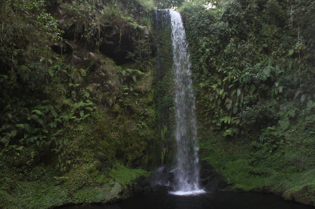
The trek starts through lush rainforest before entering a wild, rugged landscape near the jagged Mawenzi Peak. From there, it crosses a barren desert-like saddle and ascends Kibo’s eastern crater wall.
Unlike other routes, the Rongai Route finishes at Marangu Gate on Kilimanjaro’s southeast side.
This route is generally considered one of the easier climbs because of its gradual, steady ascent. However, it lacks the typical ‘climb high, sleep low’ pattern found in the Machame or Lemosho routes, which may make acclimatization slightly more challenging.
No technical climbing skills are needed on this route, and thousands of climbers safely complete it each year.
The entire Rongai Route covers roughly 72 kilometers from start to finish.
If you’re worried about tackling the Great Barranco Wall, the Rongai Route is an excellent choice for you!


Example Rongai Itinerary
DAY 1- NALE MORU ENTRANCE TO SIMBA CAMP
After breakfast, you’ll meet your porters and complete registration at the Ranger’s Office. The hike starts from Nale Moru (1,950m), winding through farmland and maize fields before entering a rich rainforest teeming with wildlife. The trail steadily ascends as the forest gradually thins, opening up to the moorland zone with stunning views of the Kenyan plains. You will then reach Simba Camp at 2,700 meters.
Trekking distance: 8 kilometers
Trek time: Around 4 hours
Environment: Montane forest
Elevation: From 1950 meters to 2700 meters
DAY 2 - FROM SIMBA CAMP TO KIKELELWA CAMP
Departing from Simba Camp, the trail heads westward, steadily climbing through heath and moorland zones. Lunch is served at Second Cave (3,450m). Afterward, the path continues gently upward, passing a canyon and dry riverbeds as the vegetation gradually thins. In the distance, Kikelelwa Camp (3,600m) comes into view, perched on a hill. On clear days, you can admire the towering Kibo Peak behind you and take in sweeping views of the Kenyan plains and villages, lying 3,600 meters below.
Trekking distance: 9 kilometers
Trek time: 6 to 7 hours
Environment: Moorland
Elevation: From 2700 meters to 3600 meters
DAY 3 - FROM KIKELELWA CAMP TO MAWENZI TARN HUT
Today’s hike is relatively short but quite steep, with some sections that may require using your hands to scramble. Along the way, you’ll be rewarded with stunning views as the landscape gradually shifts from moorland grasses and heath to hardy plants like everlastings. After 3 to 4 hours of trekking, you’ll arrive at Mawenzi Tarn Hut (4,330m), surrounded by a rugged, rocky, and mist-covered mountain terrain.
Trekking distance: 6 kilometers
Trek time: Around 4 hours
Environment: Moorland
Elevation: From 3600 meters to 4330 meters
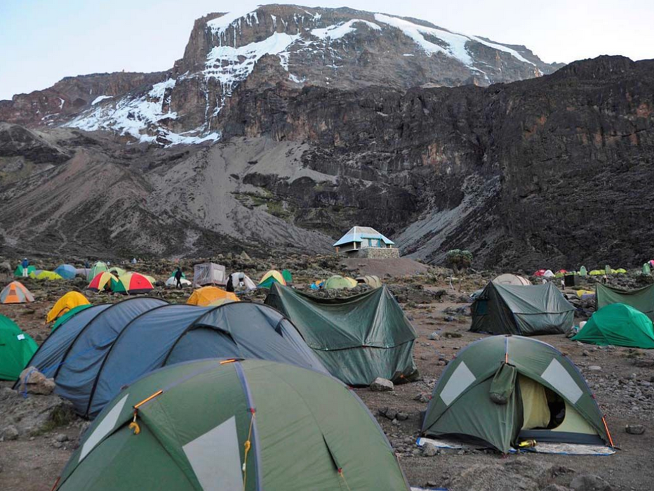
DAY 4 - MAWENZI TARN HUT TO KIBO HUT
The hike starts off steep before leveling out as you cross the saddle between Mawenzi and Kibo Hut (4,750m). Gradually, the landscape transforms into a stark moonscape, with all vegetation gone except for a few hardy Everlastings holding on. Kibo Hut will be your last camp before you begin your summit attempt around 1:00 a.m.
Trekking distance: 9 kilometers
Trek time: Around 5-6 hours
Environment: Alpine desert
Elevation from 4330 meters to 4750 meters
DAY 5 - KIBO HUT TO UHURU PEAK TO HOROMBO HUT
Beginning between midnight and 1:00 a.m., the trail to the crater rim starts just behind Kibo Hut. After about 2.5 hours, you’ll reach Hans Meyer Cave (5,151m). From there, the path zigzags up the volcanic scree along the crater rim to Gilman’s Point (5,680m). The route then continues past breathtaking glaciers and ice cliffs to Stella Point (5,752m) and finally to Uhuru Peak (5,895m), the highest point. After reaching the summit, you’ll descend to Kibo Hut for lunch, then continue down to Horombo Hut, where you’ll spend your last night on the mountain.
Trekking distance: 22 kilometers (6 kilometers ascent / 16 kilometers descent)
Trek time: 10 to 13 hours (6 to 8 hours ascent / 4 to 5 hours descent)
Environment: Stone scree and ice-capped summit.
Elevation: From 4750 meters to 5895 meters (Uhuru Peak) to 3720 meters
DAY 6 - FROM HOROMBO HUT TO MARANGU GATE
The descent from Horombo is much gentler than the previous day, allowing you to enjoy stunning scenery along the way—from towering Dendrosenecio kilimanjari trees, heath, moorland, tussock grasses, and heathers, back into lush rainforest. You’ll stop for lunch at Mandara Hut (2,700m) before continuing for another 1½ to 2 hours to Marangu Gate, where your golden certificate will be waiting for you.
Trekking distance: 18 kilometers
Trek time: 5-6 hours
Environment: Montane forest
Elevation: From 3720 meters to 1980 meters
Note: The itineraries above are examples and can change slightly depending on weather, hiking speed and ability. We work to ensure safety at all times, and where inclement weather might make a particular path or side-trip unsafe, our lead guides will adjust accordingly.